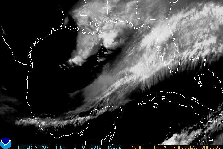
update: From Dr. Jeff Master's blog on the Weather Underground (believe it or not, they're still around!)The latest runs of two key computer models, the GFS and GFDL, now indicate that the trough of low pressure that was expected to pick up Rita and pull her rapidly northward through Texas will not be strong enough to do so. Instead, these models forecast that Rita will make landfall near Galveston, penetrate inland between 50 and 200 miles, then slowly drift southwestward for nearly two days, as a high pressure ridge will build in to her north. Finally, a second trough is forecast to lift Rita out of Texas on Tuesday. If this scenario develops, not only will the coast receive catastrophic damage from the storm surge, but interior Texas, including the Dallas/Fort Worth area, might see a deluge of 15 - 30 inches of rain. A huge portion of Texas would be a disaster area. We'll have to wait for the next set of model runs due out by tomorrow morning to know better.


